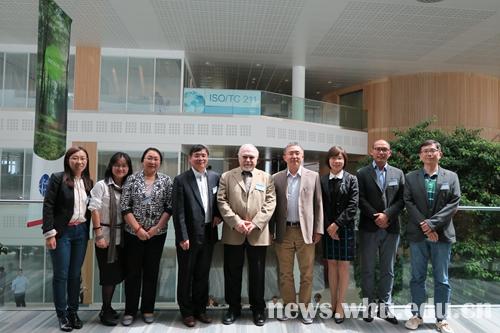
At the 40th general assembly of the Geographic Information Technology Committee of International Organization for Standardization ( ISO TC211) held in the UK, all the 34 member countries passed the “Context Components”(ISO 19631-1) ——the first part of “Geographic Information-- the Context Components and encoding rules for imaginary and gridded data”. The standard was in the charge of Wuhan University Professor Gong Jianya, who is also the academician of Chinese Academy Of Sciences.
In March, 2012, the “Context Components” was formally proposed to ISO/TC 211 by China for the first time, and it was established at the 35th general assembly on July 7th in the same year. The project leader was Professor Gong Jianya from Wuhan University, and Professor Di Liping, from George Mason Universityin the US. Talents such as Professor Gao Wenxiu and Professor Timo Balz from Wuhan University, technicians from the National Geomatics Center of China and scholars from Germany, France, Australia, the UK also participated in the project.
In the past three years, the project went through the phases of establishment, working draft and committee draft, and gained international recognition.
The project clarified the requisite context components for imaginary and gridded data and defined the basic encoding rules for mapping data context to data coding format, based on three categories: properties, space and types of sensors. It is reported that the “Context Components” will be released in November, 2015.

(Rewritten by Yuxuan Zhu, edited by Yue Rao, Diana & Sijia Hu)


