The birth of satellite “Luojia No.1” under the academician’s leadership—the first experiment of radar satellite multi-angle imaging mode
Wuhan University and China Aerospace &Technology Corp (CASC) have tested the first radar satellite multi-angle imaging mode in the world and it is estimated that the satellite will be launched by 2019. The coordination conference was hold in Wuhan on February 3. President Dou Xiankang, academician Li Deren and the chief designer of CASC Zhang Qingjun attended the meeting.
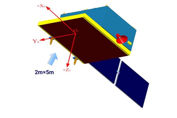
The Luojia No.1 Satellite
The “Luojia No.1” second satellite is a multi-angle imaging radar satellite (1:50000 mapping precision) joint-designed by Wuhan University and CASC under the framework of Collaborative Innovation Center of Geospatial Technology. Academician Li Deren, academician Gong Jianya and chief designer Zhang Qingjun serve as the chief scientists of this project. This is a satellite with the imaging mode featuring strip, beam, multi-angle and double-base, which is estimated to launch in 2019. It will test the first radar satellite multi-angle imaging mode in the world, which is of great significance to the innovation and development of Chinese radar satellite and satellite mapping.
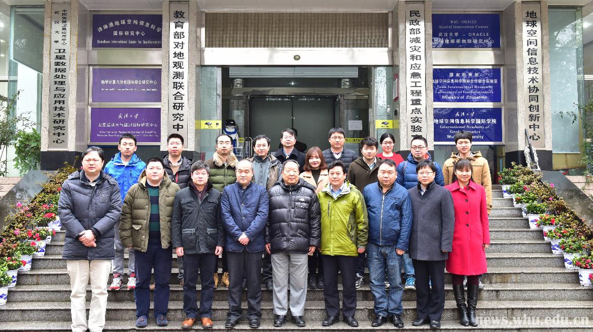
Group photo of faculty
During the conference, Li introduced the research background and the progress of “Luojia No.1”. Professor Zhang Guo of Wuhan University and Zhu Yu, researcher of Beijing Aerospace Vessel Design Department introduced the progress report and the initial blue print of the satellite. Specialists present at the meeting shared with each other their observations on the final target of “Luojia No.1”,and the deployment of its fund and follow-up work.
President Dou points out that “Luojia No.1” satellite is a flag of original innovation by Wuhan University in the field of space information. The university will strengthen its financial support to its design.
Zhang Qingjun said that CASC will spare no effort to promote the research and design work of “Luojia No.1” satellite via the platform of Collaborative Innovation Center of Geospatial Technology.
Present institutes include: Faculty from the Institute of development of Science and Technology, Institute of Advanced Technology, State Key Laboratory of Information Engineering in Surveying, Mapping and Remote Sensing, Collaborative Innovation Center of Geospatial Technology, School of Remote Sensing and Information Engineering, Electronic Information School.
Translated by Jin Yiwen
Edited by Shen Yuxi, Hu Sijia