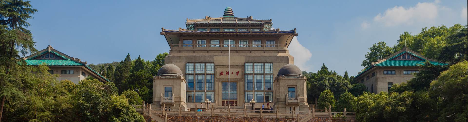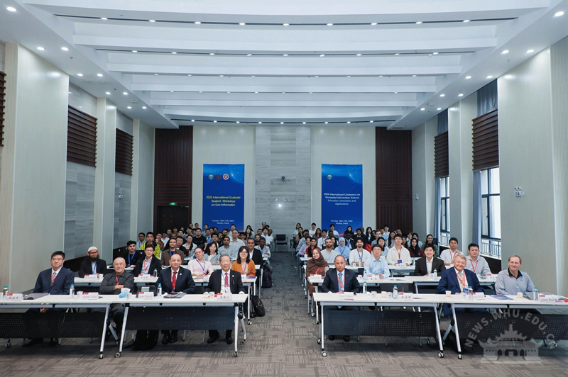
Wuhan University (WHU) held the International Conference on Geospatial Information Science Education, Innovation, and Application (GIS-EIA 2026) from Oct 16 to 17, bringing together over 180 participants from 25 countries and regions, including the United States, the Czech Republic, and Pakistan.
Experts, scholars, and young students gathered to exchange ideas on education, innovation, and applications in geospatial information science, focusing on talent development, research innovation, and international collaboration in the AI era.
Professor Shao Zhenfeng, deputy director of WHU’s State Key Laboratory of Information Engineering in Surveying, Mapping and Remote Sensing, highlighted the integration of geospatial information science with related technologies and their applications in fields such as natural disaster prevention, land management, and ecological environment.
Assistant Professor Dang Ruijun from Peking University reflected on the history of academic exchanges among Wuhan University, Peking University, and Hong Kong Polytechnic University, noting that continued cooperation has given young students a platform to share research findings and broaden their academic horizons.
Associate Professor Liu Xintao of Hong Kong Polytechnic University shared his thoughts on AI development, changes in digital educational resources, and learning methods, focusing on how new technologies affect student learning and research.
A representative from the Oriental Maritime Space Port Research Institute presented the institute’s industrial development and technological applications and also awarded prizes for a remote sensing algorithm competition, showcasing young participants' explorations and achievements.
Professor Naser El-Sheimy from Canada’s University of Calgary, Professor Shi Wenzhong from Hong Kong Polytechnic University, Professor Amr Hanafi from Benha University in Egypt, and Professor Li Deren from WHU delivered speeches on navigation and surveying education, urban informatics, pedestrian navigation, and spatiotemporal intelligence.
The conference also featured three sub-forums on spatiotemporal intelligent services, intelligent multi-source remote sensing, and Earth observation, as well as a special session for young scientists.
A doctoral forum ran concurrently, featuring 28 oral presentations and 10 poster displays, focusing on real-time remote sensing and intelligent interpretation, spatiotemporal computing and intelligent services, and autonomous mapping of unknown spaces.
 中文