Wuhan University's (WHU) Henryljp team from the State Key Laboratory of Information Engineering in Surveying, Mapping, and Remote Sensing has defended their title by winning the "All-Weather Land Cover and Building Damage Mapping" track at the 2025 IEEE Geoscience and Remote Sensing Society (GRSS) Data Fusion Contest.
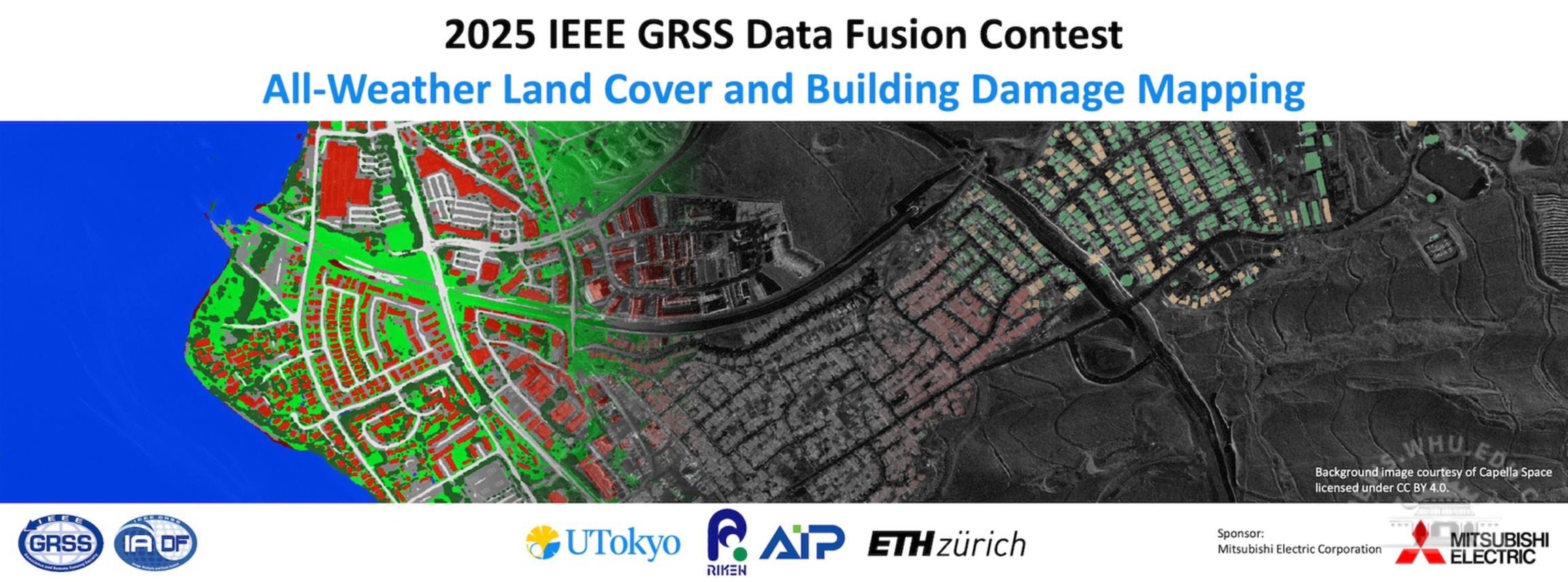
The "All-Weather Land Cover and Building Damage Mapping" at 2025 IEEE GRSS Data Fusion Contest.
Led by Professors He Wei and Zhang Liangpei, the team has long been dedicated to remote-sensing monitoring and emergency management for natural disasters, achieving remarkable results in international competitions. The team independently developed an intelligent remote-sensing disaster interpretation platform. In 2024, they won the "Dual-Track" championship. Team members include Li Jiepan, Huang He, Sheng Yu, and Guo Yujun.
This year's competition focused on building damage detection using dual-temporal multi-modal remote sensing imagery, covering various disaster scenarios. The team proposed an iterative pseudo-label strategy based on pre-disaster building information and uncertainty guidance, significantly improving model generalization and achieving high-precision cross-scenario detection.
The IEEE GRSS Data Fusion Contest, established in 2006, is one of the most influential events in remote sensing data processing. This year's competition, supported by institutions such as the University of Tokyo, attracted top teams from around the world. This victory highlights the team's continuous innovation capability and will continue to promote global disaster monitoring and emergency response development.
 中文
中文