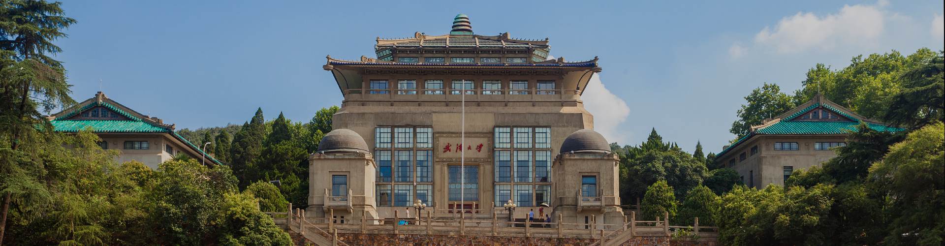
Wuhan University (WHU) secured five awards at the national science and technology award conference on July 8 in Beijing, with two projects receiving second prizes as primary contributors and three projects winning one first prize and two second prizes as participants.
The projects that received second prizes are the large-scale application of Beidou satellite-ground integrated wide-area precision positioning, led by Professor Yao Yibin from the School of Geodesy and Geomatics, and applications for intelligent satellite-ground collaborative processing and accurate remote sensing satellite services, led by Professor Wang Mi from the State Key Laboratory of Information Engineering in Surveying, Mapping, and Remote Sensing.
Yao's team has tackled challenges in the Beidou precision positioning system, such as inaccuracies in complex environments, service disruptions across varied scenarios, and processing delays for large user bases.
They have developed an innovative system for Beidou satellite-ground integrated wide-area precision positioning, which includes a precision positioning platform and diversified terminals.
This system has been applied to spatiotemporal services across multiple provinces and cities, supporting projects such as the South-to-North Water Diversion and sectors such as power, water conservancy, and railways.
Wang’s team has addressed three critical bottlenecks in the intelligent remote sensing satellite system: fast, accurate image processing despite limited onboard resources; rapid, flexible information extraction and transmission; and quick, accurate, terminal services.
Their work has transformed traditional "satellite sensing, ground computing" to "satellite-ground collaboration“, supporting major applications in aerospace, national security, commercial space, and ecological protection.
Professor Chen Yifeng’s team from the School of Water Resources and Hydropower Engineering contributed to Baihetan Hydropower Station's giant hub project, which earned the first prize.
The team overcame design and construction challenges when building the first asymmetrically strong high arch dam, the world's largest underground powerhouse cavern group, and asymmetric flood discharge energy dissipation in narrow valleys.
Professors Yan Li and Jin Taoyong’s team from the School of Geodesy and Geomatics contributed precise detection technologies and applications for the project on delineating complex deep-sea geographical entities, which received a second prize.
This team developed a comprehensive system for precise delineation of seabed geographical entities, overcoming challenges in multi-source heterogeneous bathymetric data fusion, and constructed a cross-scale, multi-resolution seabed topographic model of China's maritime jurisdiction, completing 769 delineations.
Professor Yang Bisheng’s team from the State Key Laboratory of Information Engineering in Surveying, Mapping, and Remote Sensing led a project on millimeter-precision efficient inspection technology, equipment, and applications for ultra-large infrastructure, which was also awarded a second prize.
The team developed generalized point cloud theory and methods, high-precision 3D autonomous measurement, intelligent defect detection technologies, and a complete set of inspection equipment, forming a Chinese solution for intelligent infrastructure inspection.
This project serves power grids, high-speed rail, and tunnels, and has been exported overseas, advancing precision measurement and leading infrastructure maintenance from "manual carpet inspection to intelligent guided precision measurement“.
These awards recognized 258 projects and 11 scientific experts, with academicians Chen Liquan and Ben De receiving the highest honor, the National Science and Technology Award.
 中文
中文