During the 2025 cherry blossom season at Wuhan University (WHU), the university's Intelligent Computing of Cultural Heritage Laboratory introduced a new experience for visitors by applying low-altitude 3D technology.
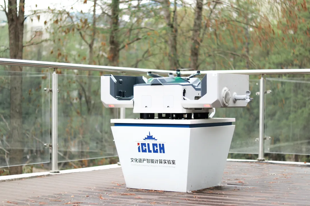
Wuhan University's Intelligent Computing of Cultural Heritage Laboratory introduces an automated drone. [Photo/WeChat account of Wuhan University]
On March 16, the lab launched its campus cherry blossom monitoring and patrol program, using its self-developed "Low-altitude Flight Perception Intelligent Computing Cloud Platform". This system integrates drones and thermal infrared sensors to gather multi-source data, providing strong support for campus management.
The platform collects images, videos, and thermal infrared data in real-time, generating centimeter-level precision orthophoto maps within 30 minutes. During drone flights, the lab monitors the situation through a large display screen, scanning about one square kilometer of the cherry blossom viewing area and ensuring precise spatial data collection.

Real-time footage from the low-altitude cloud flight platform. [Photo/WeChat account of Wuhan University]
To manage the flow of visitors, the lab uses thermal infrared and orthophoto data, applying object recognition algorithms to track crowd locations and measure density. Heat maps are generated, providing essential data to help campus staff members allocate security and manage traffic, ensuring a smooth visitor experience.
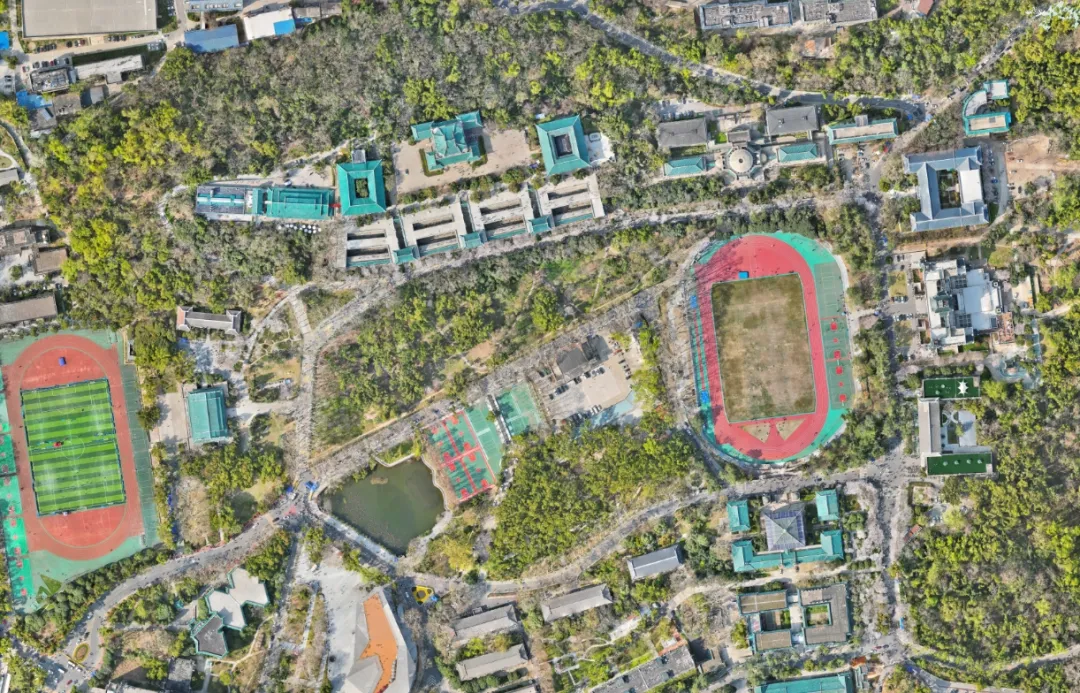
Orthophoto of the Cherry Blossom Avenue. [Photo/WeChat account of Wuhan University]
This technology has also been applied to campus 3D map updates, vehicle patrol monitoring, and construction supervision, enabling full-scale dynamic campus monitoring. In the future, low-altitude 3D AI technology will be applied in urban management, cultural preservation, public safety, and more, advancing digital and smart infrastructure.
 中文
中文