Recently, the academic paper co-written by Dr. Li Xi and Academician Li Deren from the State Key Laboratory of Information Engineering in Surveying, Mapping and Remote Sense of Wuhan University was published as the cover paper in the International Journal of Remote Sensing. It has drawn great attention from the Taylor & Francis Group, one of the leading publishers in the world as well as from several other international media such as Science Daily, a well-known international science website.
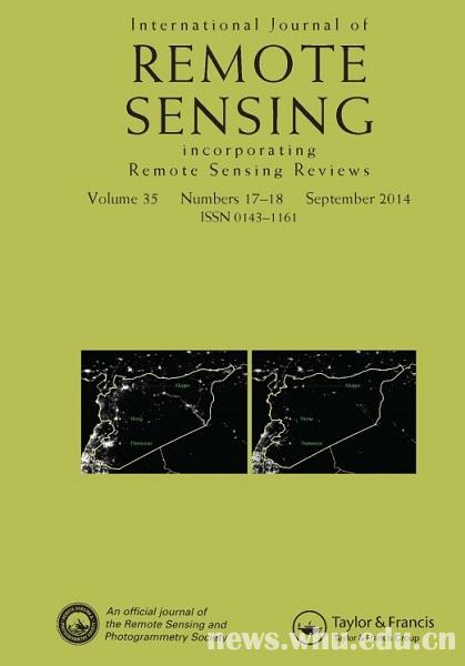
The paper, entitled “Can night-time light images play a role in evaluating the Syrian Crisis”, was written against the backdrop of a severe humanitarian calamity triggered in the Syrian civil war since 2011. Due to the extreme danger in this conflict area, both the journalists and the international investigators in Syria have suffered serious threats to their lives and safety. It has been, therefore, hard to collect a relatively objective and comprehensive data for research. As it was illustrated in this dissertation, night-time light images can be well-employed to demonstrate the developments of the humanitarian catastrophe in Syria.
Through the space-temporal analysis of the DMSP/OLS night-light emissions data, the researchers found out that the majority of the provinces in Syria has experienced a night-light loss of more than 60% since the civil war, thus unveiling the relatively high relevancy between the night light loss and refugee migrations. Based on the space-temporal analysis method which was proposed independently in this paper, the researchers also discovered that the border of the night light changing pattern in Syria is highly correlated with its international border. Therefore, the thesis does not only prove that remote sensing technology can be applied to assess the Syrian conflict, but also suggests that it is applicable to the status quo of the current civil war in Iraq.
"To evaluate the ongoing conflicts is quite achallenge as it is extremely difficult to get both reliable and comprehensive on-the-spot reports in Syria. And that is the reason why satellite images, as one of the few objective information sources, are of potential value in terms of evaluating the crisis" said a representative of the Taylor & Francis Group. The paper has also been listed as a newsworthy research and will be available for free download in 6 months.
The paper hit the world headlines with features and reviews from several international media channels including Science Daily, one of the mainstream science media in the U.S. According to Science Daily, this research is especially interesting, as it provides an effective method for monitoring a humanitarian disaster. Also, according to the statistics from Ebizmba, an authoritative E-commerce website, Science Daily now ranks fifth among the most popular science websites worldwide with a 5 million monthly web visitors.
The Taylor & Francis Group was founded in 1798. With over two centuries’ publishing experience, it is now a leading international academic publisher with more than 10,000 journals and 2000 new books published annually, among which over 400 journals are indexed by SCI&SSCI.
(Rewritten by Shunze Wang, edited by Diana & Sijia Hu)