From September 15th to October 21st, ‘Watching the Globe – the Interactive Exhibition of Remote Sensing Popularization’ was held at the Wanlin Art Museum. The exhibition was hosted jointly by Wuhan University, Chinese Society for Geodesy, Photogrammetry and Cartography as well as the China Association of Remote Sensing and Application.
Li Deren, academician of the Chinese Academy of Science (CAS) and the Chinese Academy of Engineering (CAE), addressed the opening ceremony. He stated that this exhibition was of significance and shouldered the responsibility of remote sensing popularization. He also recommended that students in WHU should visit the exhibition to acquire a general view of the vital role that remote sensing played in the construction of national key projects and in the general population’s daily lives.

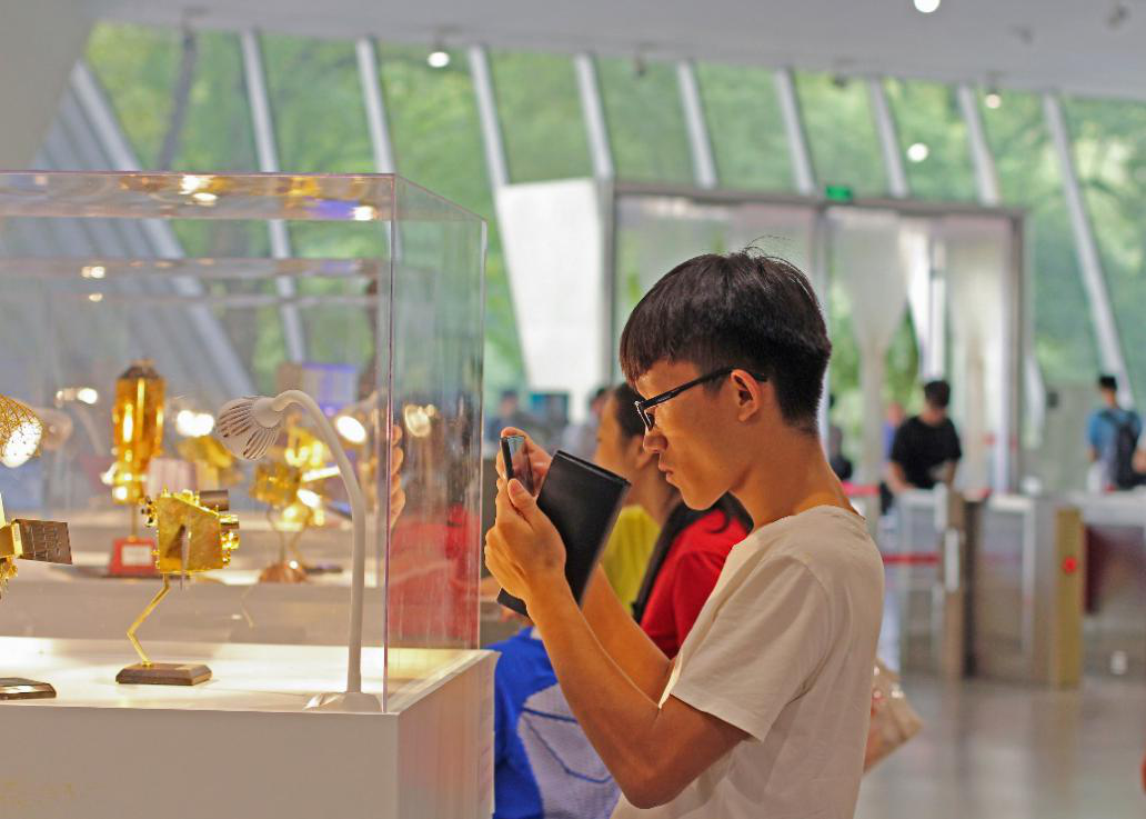
A visitor taking pictures of satellite models
With the help of multimedia such as videos, pictures, display boards and interactive activities, the exhibition presented the history of remote sensing development, the earth in the eyes of remote sensing, and data processing and its application in remote sensing etc.
Under the theme of Watching the Globe, the exhibition was divided into five parts, namely, the ‘Soaring Aspiration – Practicing the Remote Sensing Subject’, ‘Clasping the Moon and Stars – Advanced Equipment of Remote Sensing Science and Engineering’, ‘Global Airscape – Horizons of Remote Sensing Researchers’, ‘Always Endeavoring for the Better – Secrets of the Information Processing of Remote Sensing’ and ‘Borderless – the Field of Remote Sensing from Macroscopic to Microcosmic’. Each provided the audience with a multi-sensory feast.

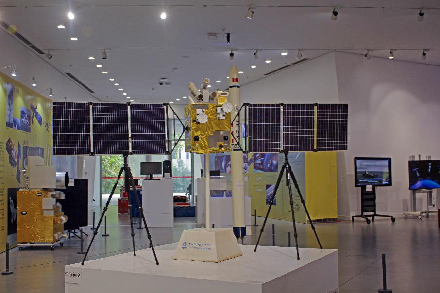
Models of a remote sensing satellite and a rocket
On entering the exhibition, visitors were exposed to all kinds of satellites and rocket models. The first floor of the exhibition introduced the audience to the high-tech remote sensing devices as well as its carriers. Ranging from the first aerial survey camera to the model of the modern night-time light remote sensing satellite, Luojia No.1, visitors could get acquainted with the grand historical development of remote sensing as well as its achievements and abilities.

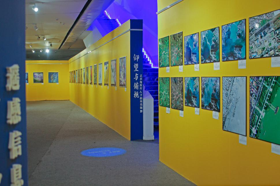
Remote sensing images with artistic intervention
Walking down to the basement level, one could perceive a stronger artistic atmosphere. Using specific methods of image processing, the multi-spectral images sent back by satellites and aerial cameras were turned into works of art. In the remote sensing pictures, mountains and rivers moved just like painting brushes while the ground became the canvas. Cities and towns adorned the plain, with roads and railways as their arteries. Indulging in the beauty of the pictures, it was difficult for the audience to realize that these were works of remote sensing rather than real artist.
“Even though I major in remote sensing, I rarely have the opportunity to see the real devices of the subject, not to mention the ordinary citizen. So, I think this is a good chance for people to learn about remote sensing and to improve their science literacy”, an undergraduate student of the School of Remote Sensing and Information Engineering at WHU said. “Actually, I’m pretty gratified, for remote sensing is indeed a subject of little public concern. Letting people know about the career that I devote myself to makes me feel proud”, he added.

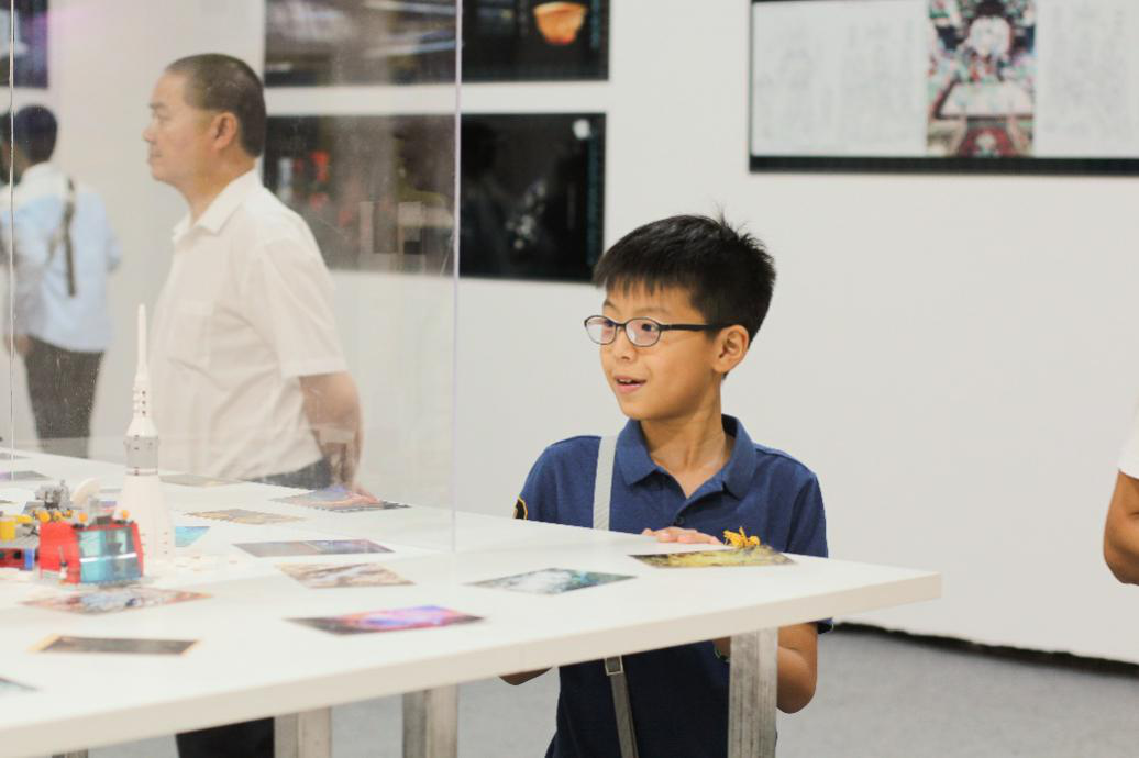
A child scrutinizing the model
For a long time, human beings have been aspiring to gain insight into the remote and to predict the future. Nowadays, however, we no longer need to pin this hope on tales and myths, for remote sensing emerges and develops into the very science and technology capable of achieving that aspiration. With its broad applications in various fields, remote sensing has become a key technology in national economy, agriculture and security.
The exhibition of remote sensing was a perfect combination of technology and art, presenting us with an opportunity to gain insights into the workings of the earth and to explore the unknown mysteries of the universe. Science and technology have no limits, and neither does human thirst for exploration.
Photo by Cui Wenjing
Edited by Wei Yena, Li Yushan, Hu Sijia & Shi Weiya